zetah
2013-02-28 22:49:37 UTC
I'll just copy what I asked on github page: https://github.com/Toblerity/Shapely/issues/44
While looking for appropriate way to solve a problem I'm not trained for, I opened a discussion in scikit-image google group: https://groups.google.com/d/topic/scikit-image/I28t7wr-bzY/discussion as I expected this problem to be solvable through image processing.
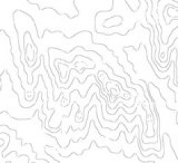
In short, my problem is that I have an old map scan, which I segmented to extract topological lines, but as this map consists of various labelings, graticules and other lines overlaid on topo contours, I get gaps in resulting image: Loading Image...
So looking through Python packages I noticed Shapely, and reading reference files it seems it operates on points, lines and polygons, like a vector program. I didn't study documentation, but I thought that it might be possible to use this package and get reconstructed contours, as I'm able to export shape file with spline contours, based on my segmented bitmap with disconnected contours. Please take a look at this shape file: https://docs.google.com/file/d/0B8BY3UUCWEsOdDJPdldpWTk4dFU/edit?usp=sharing
Can I get confirmation if Shapely as a package can help in this process?
TIA